[Problem]
Whale reports on the Salish Sea arrive as community text messages written in local shorthand — "Pt. Robinson, southbound," "north of Marine Park" — which is useless if you don't already know the water by heart. By the time you've searched the place name, the whales have moved on.
[Approach]
- 01Built an inbound webhook that takes the raw sighting text and runs it through a language model to pull species, direction, time, and the landmark named in the report.
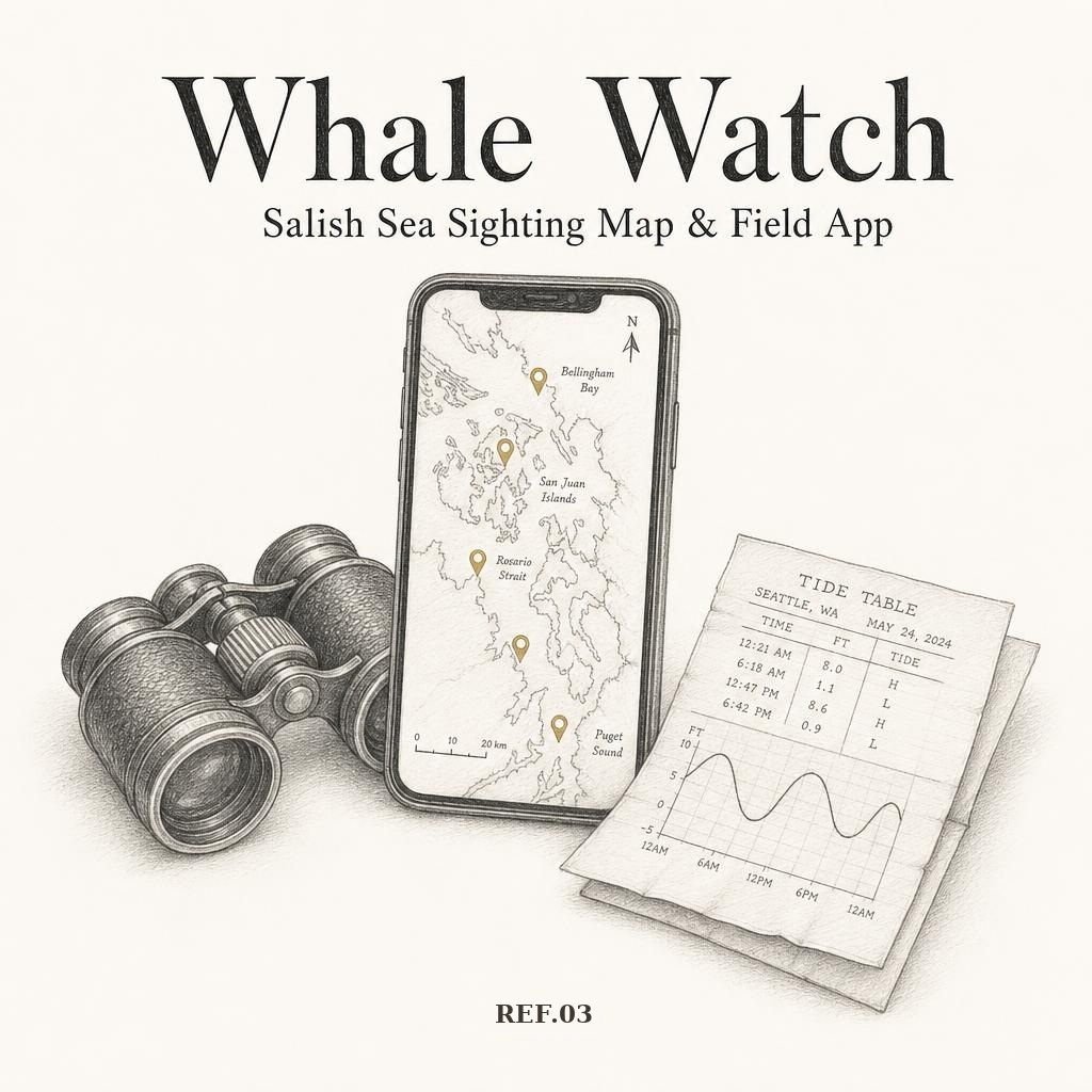
- 02Geocoded against a library of 130+ Salish Sea landmarks and public shore viewpoints, so every report lands on the map with the nearest place you can legally stand, park, and look from.
- 03Designed the board around fading pins — solid for the last couple of hours, ghosted as reports age — with species filters for orca, humpback, gray, and minke.
- 04Shipped it as its own installable home-screen app with a gold whale icon: no browser bar, straight to the map, refreshed on open.
- 05Free, ad-free, no paywall, nothing sold on — a donation strip keeps it running and keeps a tour seat free for someone who can't pay.
[Outcome]
A live public whale board at brackishco.org/seaweed/whales that turns the Orca Network community text stream into something a person standing on a beach can actually use. Sightings are relayed from the Orca Network community list; positions are approximations from the named landmark, not fixes.