[Problem]
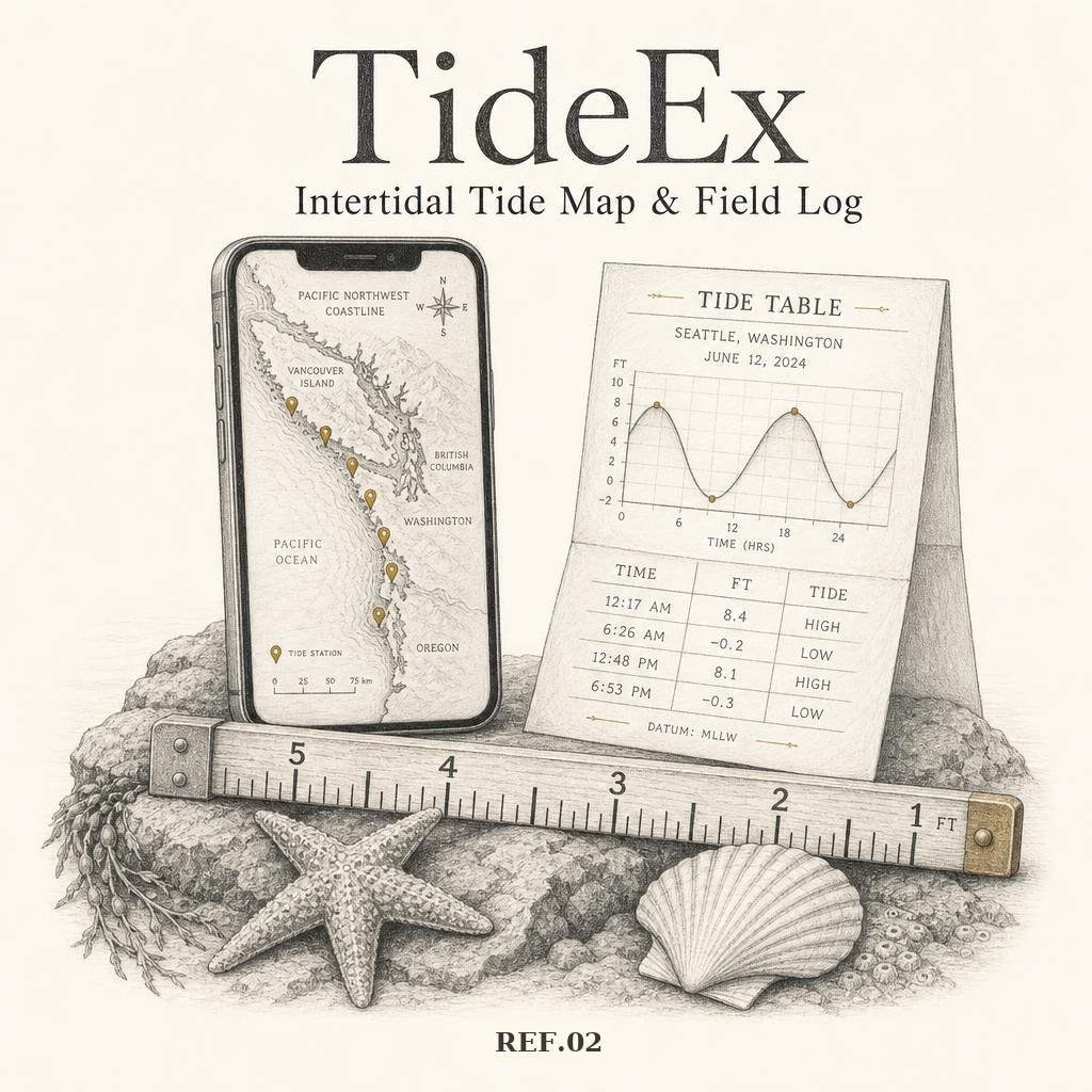
Most tide apps hand you the nearest harbor or buoy — often miles from the beach you actually care about. A headland, a bay, or a shallow reef shifts the timing and height enough to turn a good harvest window into a soaked afternoon. And the tide is only half the question: whether you're even allowed to pick something up on that beach lives in scattered agency PDFs, and nobody was writing down what the water actually did at the spot.
[Approach]
- 01Pulled 402 NOAA gauges across Washington, Oregon, and California and modeled each of 162 mapped spots against the station that actually governs it, with local offsets instead of raw harbor numbers.
- 02Built a per-spot planner: weeks of tides ahead, weather, sun times, and shaded ideal windows for low-tide exploring, harvest, snorkel, and surf — each activity keyed to its own water height.
- 03Tagged every spot with tideland ownership — public, state park, county, private, tribal, permit-required, unverified — so the access question is answered on the pin, not after the drive.
- 04Folded in a Coast Guide: harvest law, licenses, limits, and tidepool etiquette for all three states, written plain up top with the citation underneath.
- 05Opened it up: anyone can drop a custom pin and log an observation, turning a photo of the waterline into a ground-truth data point that sharpens the model for everyone.
- 06Shipped map-first and installable, opening at your location with a bottom nav sized for one wet hand.
[Outcome]
In open beta at tideex.lovable.app with 162 mapped spots across coastal WA, OR, and CA — free, ad-free, nothing sold on, and supported by a $5/month or $11.11 lifetime chip-in. Next up: The Wrack Line, a field-guide library for what you actually find down there — seaweeds first, then crabs, nudibranchs, and stars — with photos, edibility, look-alikes, and the tide to find them on.