[Problem]
Intertidal harvest law is written for enforcement, not for the person standing on the beach with a bucket. Rules live in scattered PDFs and agency pages, split across three states, and they change by species, season, use type, and specific parcel — so most people either guess, or don't go at all.
[Approach]
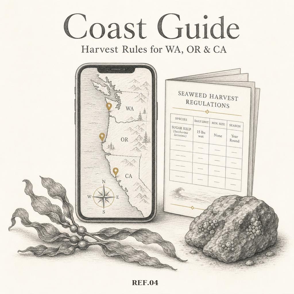
- 01Read the actual statutes and agency rules for Washington, Oregon, and California and turned them into structured, per-state records with limits, licenses, seasons, and citations kept next to the plain-language version.
- 02Drew it on a map: open beaches, closed parks, and no-take reserves, filterable by state and by personal versus commercial use so you only see the rules that apply to you.
- 03Wrote every rule twice — the plain sentence up top, the citation underneath — so the guide is usable at the tideline and defensible when someone asks where it came from.
- 04Kept meeting points and private access details out of the public layer; the map only shows what's legal and public.
- 05Shipped as an installable, offline-friendly PWA because most beaches have no signal.
[Outcome]
A free public reference at brackishco.org/seaweed/coast-guide covering the WA, OR, and CA coast — the same map the guided tours run on, so what people learn on the beach matches what they can look up at home.